Every piece of land has a history. Here is yours.
Who owned your land before you. What it looked like on the 1935 government map. Where the old creek, railroad and farm roads ran. What the ground is made of. Researched from public records, every fact cited.
Reserve your report See a real sample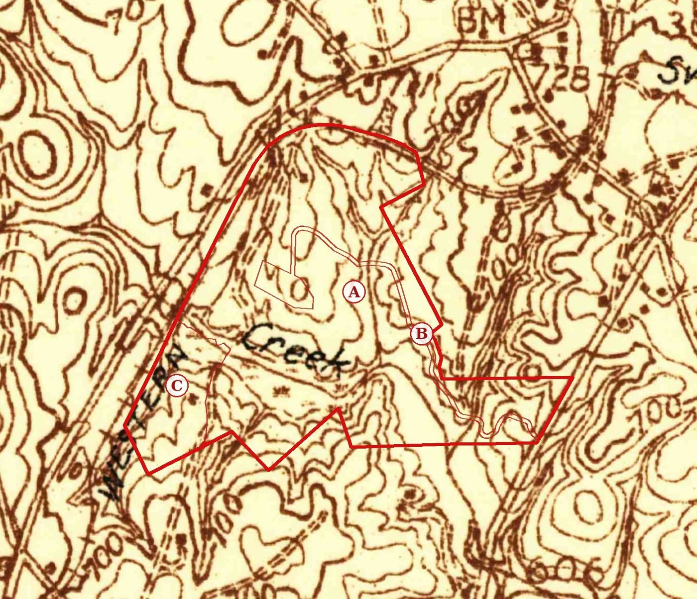
What is in a Land Pedigree
Your land on old maps
Your boundary drawn on original U.S. Geological Survey maps from the 1930s onward, lined up by coordinates so you can flip between the years and watch the woods, ponds and roads change.
The chain of owners
Each owner on record with the deed book and page, walked back toward the original land grant where the records allow.
The story of the place
A cited timeline of the town, railroad, creek and farms around your land, plus the soils under it and what they say about how it was used.
See a real sample
This is an actual report for a 260 acre property in Spartanburg County, South Carolina, built only from public records. Owner names are removed in this public copy.
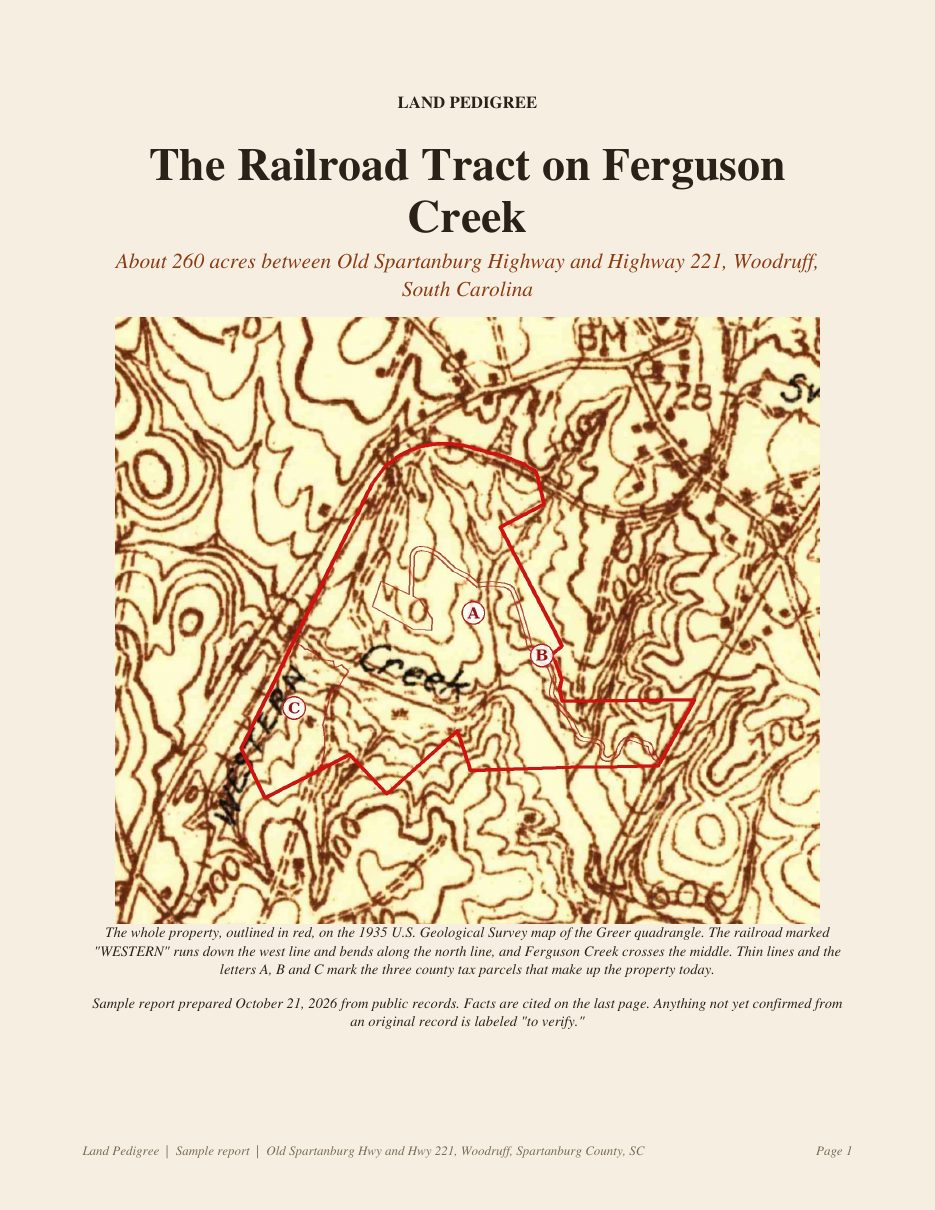
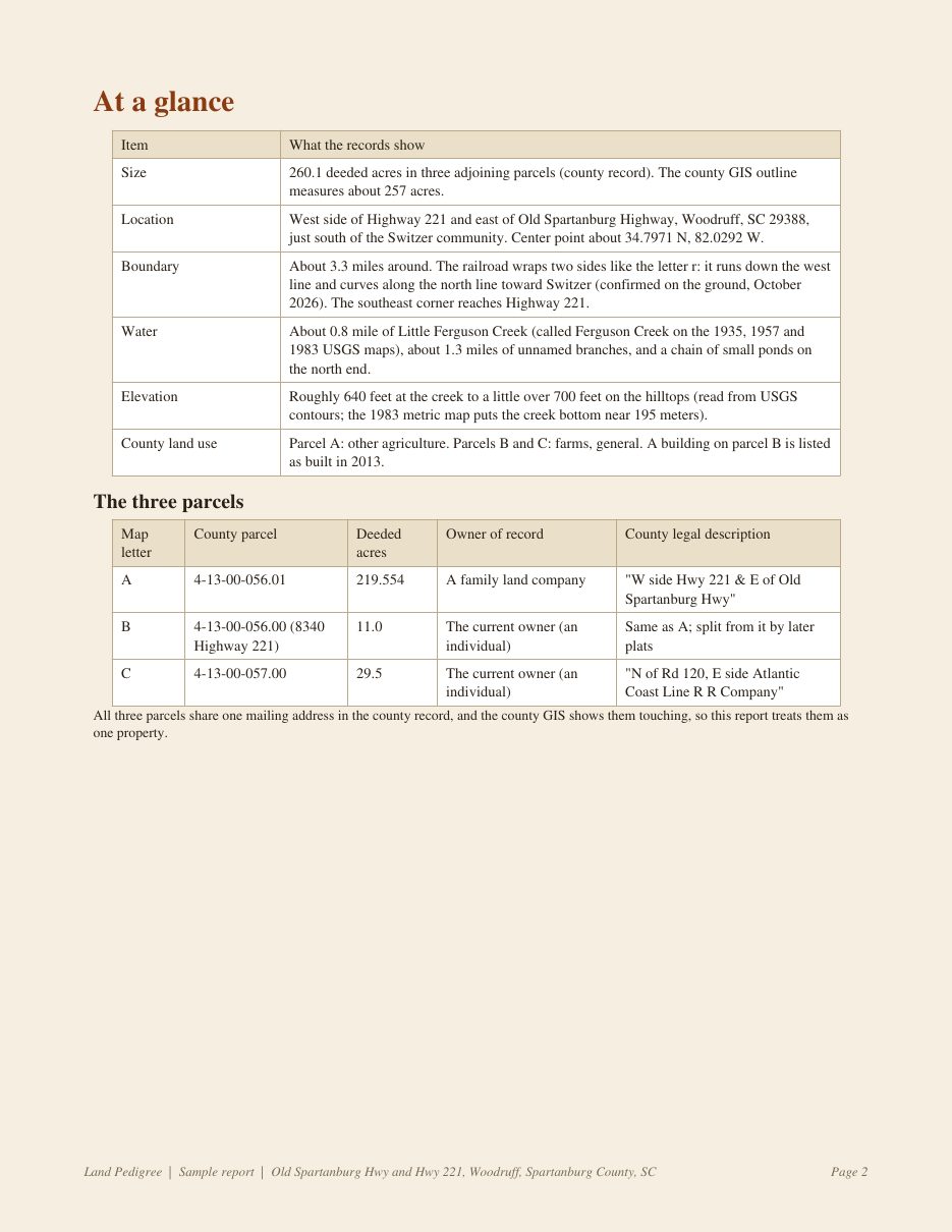
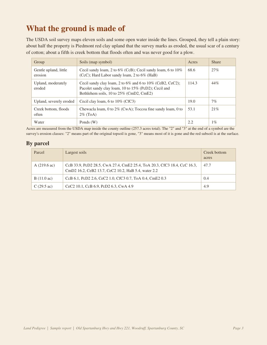
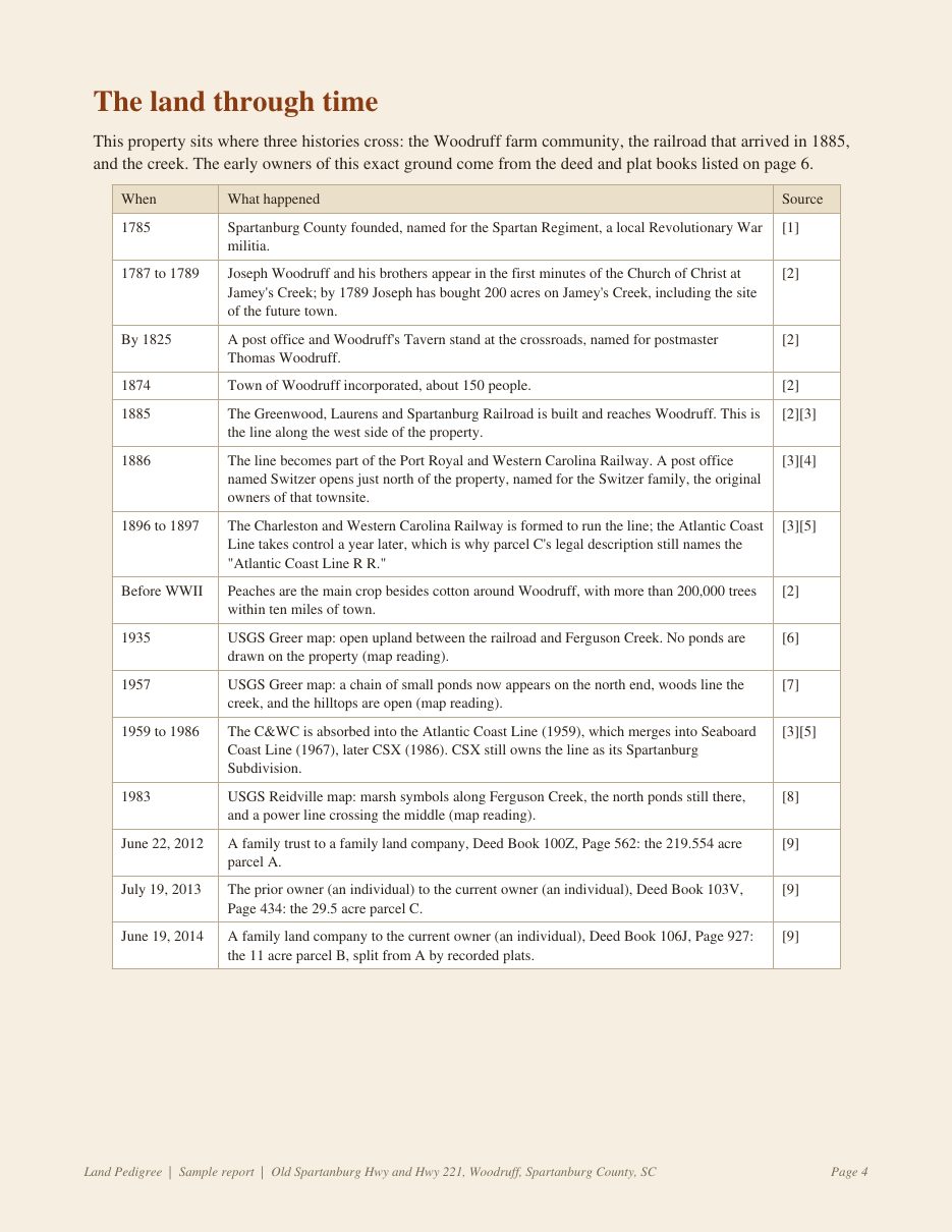
Open the full 7 page sample (PDF)
Same ground, three maps
How it works
- Send the address or county parcel number of your land.
- We pull the county parcel record, the historic USGS maps, the USDA soil survey and the stream data, then trace the deeds.
- You get your report as a PDF, with a printable poster option.
Reserve yours
Land Pedigree is opening its first orders soon. Leave your email and we will write when orders open. People on this list get the first spots.
One email when orders open, then only if you want more. No spam, and your email is never sold or shared.
Questions
Does this work for land outside South Carolina?
Yes. The historic maps, soils and stream data cover nearly all of the United States. How far back the owner chain goes depends on what each county has put online.
Is this a title search?
No. It is a history, not a legal title opinion. If you are buying or selling, use a title attorney or title company for that.
Where does the information come from?
County property and deed records, the U.S. Geological Survey historic map collection, the USDA soil survey, the national stream dataset and state archives. Every fact in the report lists its source.
What does it cost?
Pricing will be announced to the reserve list first, when orders open.